GIS, imagery analysis and data management
Our industry-leading GIS, remote sensing, photogrammetry and data management software products are used across the world to collect, process, manage and deliver location intelligence to a variety of users.
Our industry-leading GIS, remote sensing, photogrammetry and data management software products are used across the world to collect, process, manage and deliver location intelligence to a variety of users.
  |
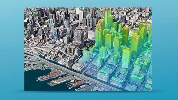
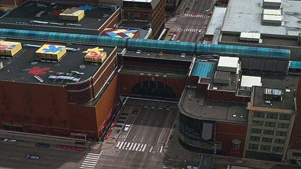
![]() – Intergraph Systems
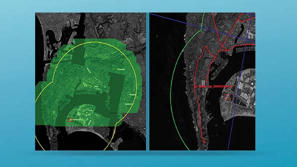
– Intergraph Systems
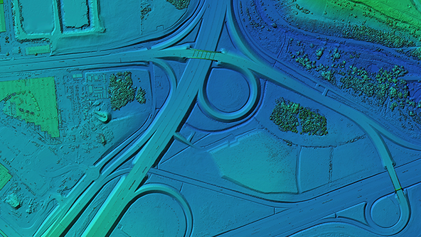
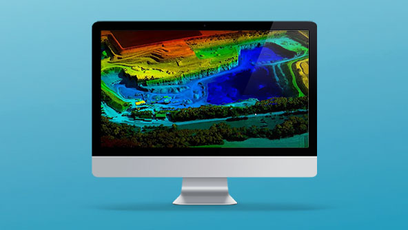
![]() – Hexagon ALI
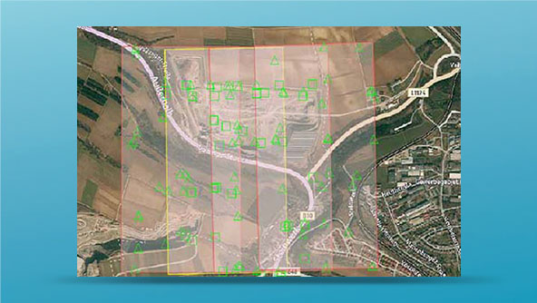
– Hexagon ALI
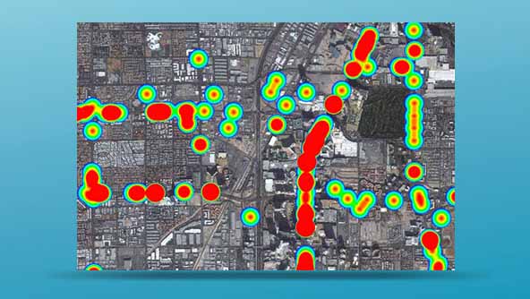
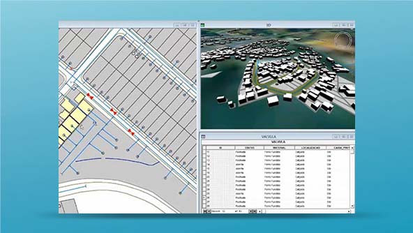
![]() – HexagonSIG
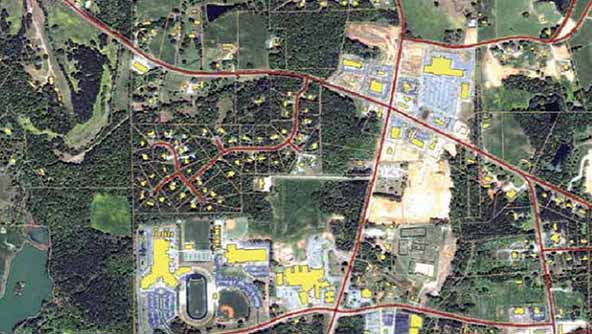
– HexagonSIG
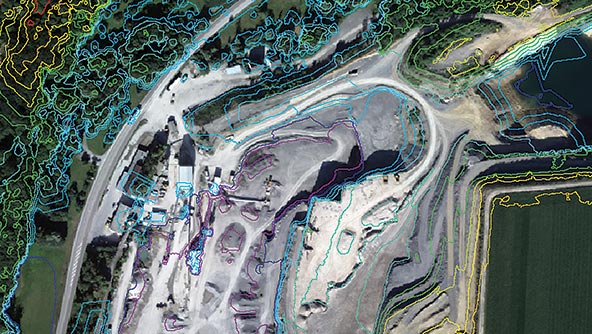
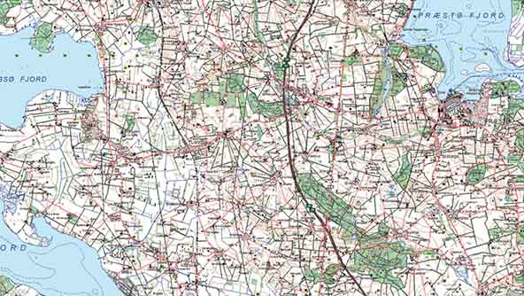
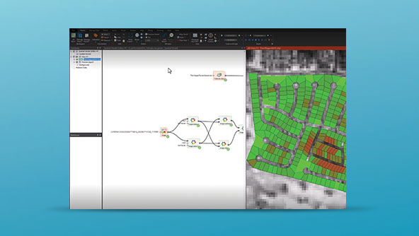
![]() – ETAP Software
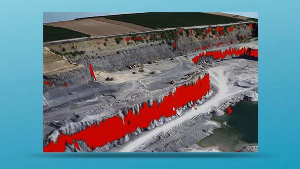
– ETAP Software
© 2024 Intergraph Systems Southern Africa Terms of Use|Privacy Policy